Satellite ProgramsPositioning Satellites
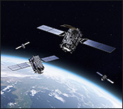
Quasi-zenith Satellite System (QZSS)
QZSS is a constellation of Japan’s geographic positioning satellites. These satellites travel in a geosynchronous orbit at an inclination of 45 degrees in order to pass near the zenith over Japan, thus providing seamless service irrespective of geographical features. They will significantly improve the accuracy of positioning in areas where GPS signals are not fully received due to interference caused by skyscrapers and mountainous terrain.
The first quasi-zenith satellite was launched in September 2010.
Three additional satellites will be launched consecutively starting in 2017, establishing a system of four satellites.
Mitsubishi Electric will continue to contribute to the advancement of geographic positioning satellites, which are useful for various applications such as traffic and surveying.
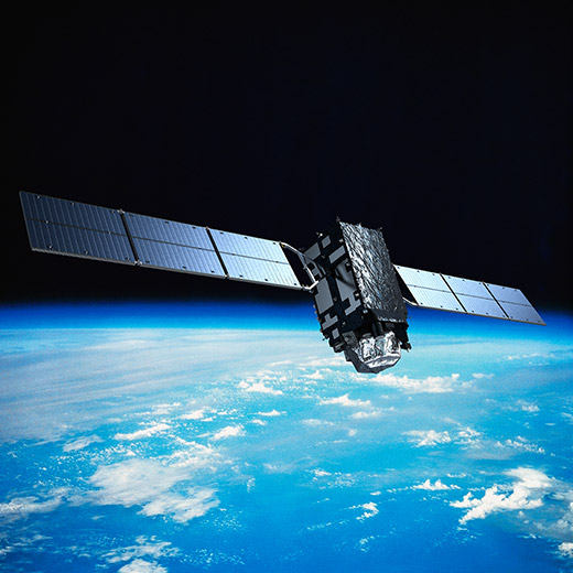
Quasi-zenith Satellite-1 (QZS-1)
-
Client
JAXA
-
Launch date
September 11, 2010
-
Launch vehicle
H-ⅡA
-
Launch site
Tanegashima Space Center
-
Orbit
Quasi-zenith (geosynchronous orbit with inclination of 45 degrees)
-
Mass
Approx. 4t (at launch)
-
Electrical power
5,300W
-
Design life
10 years
-
Responsibilities
Prime contractor
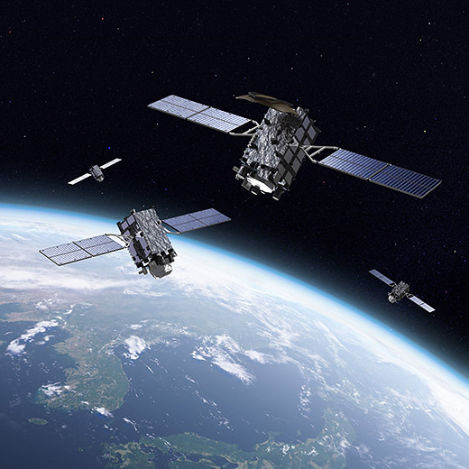
Quasi-zenith Satellite-2, -3, -4 (QZS-2, -3, -4)
Quasi-zenith Satellite-1R, -5, -6, -7 (QZS-1R, -5 , -6, -7)
-
Client
Cabinet Office, Government Of Japan Office of National Space Policy
-
Launch date
QZS-2:June 1, 2017
QZS-3:August 19, 2017
QZS-4:October 10, 2017
QZS-1R:FY2020
QZS-5:FY2023
QZS-6:FY2023
QZS-7:FY2023 -
Launch vehicle
H-ⅡA / H3
-
Launch site
Tanegashima Space Center
-
Orbit
4 satellites: Quasi-zenith (geosynchronous orbit with inclination of 45 degrees)
3 satellite: Geostationary orbit -
Mass
-
-
Electrical power
-
-
Design life
15 years
-
Responsibilities
Prime contractor
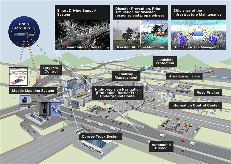
Various Applications Utilizing Centi-meter Level Positioning Information
Quasi-zenith satellites provide highly accurate centi-meter level positioning information.
Combined with the highly precise three-dimensional geographic information collected via Mitsubishi Electric’s Mobile Mapping System (MMS), it is expected that they will contribute to the introduction of new business and services.
Examples: Smart driving support systems, automated driving, disaster prevention, simulation of disaster response and preparedness based on three-dimensional positioning information, and efficiency of infrastructure maintenance
Mitsubishi Electric is contributing to the realization of societies that actively utilize geospatial information.